Radar

A radar visualisation with a neon blue line that scans the field of vision and dots that flash from red to green.

For a new online work, I’m creating a radar visualisation in which each of the dots will be assigned an image and text that reads ‘I AM NOT TARGET PRACTICE’.

The images that I’m hoping to incorporate are of cloud data centres run by AWS, Google, Microsoft, IBM, and Oracle. I took screenshots using imagery from the ESRI satellite and focused on the data centres in Virginia because it has the highest density of such places in the world.

I’m planning on overlaying these images with cloud satellite imagery so the view of them is partially obscured.

(Alt text for image gallery: satellite imagery of data centres, many are angular and white with fans mounted on the roof).

View post >

Collated research on the OKO system

OKO is the early warning system

The type of satellite is Upravlyaemy Sputnik Kontinentalny, or US-K.

These form the Kosmos system (which I have also seen spelt Cosmos).

‘The satellites are drum-shaped, 2 metres long with a diameter of 1.7 m. They weigh 1,250 kilograms without fuel and 2,400 kilograms when fully loaded. They have a 350 kg infrared telescope pointing toward Earth, with a 4 m conical sunshield and an instrument bus. The telescope, which is the satellites’ main instrument, is able to detect radiation from ascending missiles.’

Kosmos has a total of 101 satellites launched between 1972 and 2012, according to Wiki.

The last US-K satellite (Kosmos 2469) was launched on 30 September 2010. As of December 2015, the entire OKO programme is being replaced by the new EKS (or Tundra) satellites and the Kupol system.‘Reportedly the Tundra satellites carry also a secure emergency communications payload to be used in case of a nuclear war.’ I think there are six in orbit, with another launching this year. https://space.skyrocket.de/doc_sdat/tundra.htm

The satellites rely on infrared sensors that can directly detect radiation emitted by a missile plume.

An over-the-horizon (OTH) radar, like all radars, detects reflections of electromagnetic signal that it sends in the direction of a target. OTH radars deployed on the Soviet territory were able to detect missile launches on the territory of the United States by using reflections of electromagnetic impulses from Earth’s ionosphere.

The system began limited operations in 1978 and was placed on combat duty in 1982 (so it was very new when the 1983 incident occurred).

The bunker in Serpukhov-15 includes antennas to communicate with the satellites.

Launches of early-warning satellites into highly elliptical orbits are performed by Molniya-M launchers from the Plesetsk launch site in northern Russia.

An amazing website for tracking satellites http://www.satflare.com/home.asp

The full list of satellites in the Kosmos system https://space.skyrocket.de/doc_sdat/us-k.htm

View post >

Related artworks: The Time Before The Fire by Nye Thompson

Vanguard 1, the oldest artificial satellite still in orbit around the Earth
Vanguard 1, the oldest artificial satellite still in orbit around the Earth. Source link below.

Nye Thompson has begun some new research around satellites, especially decommissioned ones, for an online residency with Mostyn Gallery.

This is the summary:

Far above, over our heads a hidden choreography of national and commercial power struggles is playing out. Military, communications, GPS, imaging, monitoring, surveillance – satellites live fast and hard. Existence maintaining baseline performance in the New Frontier is precarious

Alongside them are the ghosts –  thousands of decommissioned siblings that have outlived their usefulness. They will tumble along their graveyard orbits for years or centuries before they hit the atmosphere and burn.’

Nye kindly pointed me in direction of the Kosmos system of satellites which was used in the OKO early warning system I’m researching!

https://mostyn.org/event/the-time-before-the-fire/

https://www.instagram.com/p/Cg1RaZ2DX-T/?utm_source=ig_web_copy_link

View post >

Wargames: the film (1983)

Film still: Wargames, film (1983)

Made in the same year as the Serpukhov-15 incident, Wargames was a film that speculated on the beginnings of accidental war, automated weapons and hackable military facilities.  The plot focuses on a high school teenager who discovers a backdoor into the computer that controls America’s nuclear weapons. Thinking it can’t possibly be a real military computer, the teenager at first thinks he’s playing a computer game, unable to comprehend the enormity of global violence now at his fingertips.

The computer itself was designed to replace human workers (those in power don’t want moral judgements and ethics to stand in the way) so it begins to play the ‘game’ back. And once it starts, it won’t stop.

The film’s tagline is ‘the only winning move is not to play’. Against the background of my research interests, it’s reminding me of something I read in Carissa Veliz’s book Privacy is Power: ‘the internet does not allow you to remain silent’ (p230). It is incredibly difficult to opt out of systems of surveillance and networks that amass data for ‘algorithms of oppression’, to borrow a phrase from Safiya Umoja Noble.

The technologies of such systems of control rely on our inputs, which is why the issue of choice is so pertinent.

In the film, choice was looked at through the lens of computer automated weaponry.

Finally, in Wargames, to stop the computer and to avert catastrophic destruction, they have to convince it that continuation is futile. The competitive cycle of input and response must stop. There are no winners in nuclear war.

I’m wondering what I can take away from this in relation to my research. Maybe it’s that there are no winners when huge amounts of the population are criminalised, subjected to limited opportunities, and marginalised and discriminated against by opaque computerised processes.

View post >

Clouds and surveillance

A series of images made by combining maps that show surveillance network Five Eyes locations in the UK and cloud optical thickness.

A satellite image plus patches of orange, yellow, blue, purple and green to show cloud density
UK: Five Eyes locations plus cloud optical thickness
More Five Eyes locations plus cloud optical thickness

The icon of the red triangle with the eye within it was the default setting in the tool I used to create these images. Note: to change in future.

View post >

Disappearing forests

How can a forest disappear without any trees being cut down? Here are two images showing the same region, the Uinatas mountain range, that show how something can disappear in an instance in satellite-assisted visualisations.

Researchers show that 6% of global forests – equivalent to the size of China – disappear when you define a forest by 10% tree cover instead of 30%. Tree cover describes the density of trees in an area and is used to produce forest/non-forest maps which the researchers say are causing issues.

I started looking at forests because the Serpekov-15 bunker is an area of Russian forest, and this finding relates to my interest in the discrepancies within computer-assisted, data-driven vision. From one perspective, there is a forest. From another, there isn’t.

We might be physically present in that forest and yet it wouldn’t exist.

https://earthobservatory.nasa.gov/images/86986/is-that-a-forest-that-depends-on-how-you-define-it

https://earthobservatory.nasa.gov/images/87176/when-a-definition-makes-a-forest-disappear

View post >

Clouds and control

This week I’ve been experimenting with layering up cloud imagery and the control dashboards used within missile control centres.

I’d been thinking about the false premise that more data guarantees more clarity, something that James Bridle talks about in his book New Dark Age. It’s a premise often used to bolster the perpetuation of surveillance technologies. But as Bridle alludes to, more data also means greater complexity and increased potential for confusion and comprehension. It is an uneasy paradox that destabilises the idea that more data enables us to see more clearly, when the reality is more cloudiness.

We have likely heard or experienced the temptations of the ‘big red button’ – do not press, urging us to do the opposite. But I’ve also been thinking that even the existence of a button sets the stage for the following events. It is there so the temptation is to use it (this is one of the ongoing arguments against the likes of Trident). So my experiments this week also looked at the aesthetics of disappearing dashboard controls, blurring into this clouded vision.

The images of dashboards are released under a Creative Commons license by photographer Todd Lapin and show the control panels within SF-88, a former Nike missile base in the Marin Headlands, US. Nike missiles were anti-aircraft missiles often equipped with nuclear weapons between the 1950s and 1970s during the Cold War. Here is a link to the Creative Commons license: https://creativecommons.org/licenses/by-nc/2.0/

The cloud videos are from a dataset created by the Multimodal Vision Research Laboratory (credit below) and also feature videos collected by Martin Setvak.

Cloud dataset credits: Jacobs N, Abrams A, Pless R. 2013. Two Cloud-Based Cues for Estimating Scene Structure and Camera Calibration. IEEE Transactions on Pattern Analysis and Machine Intelligence (PAMI) 35:2526–2538. DOI: 10.1109/TPAMI.2013.55, and Jacobs N, Bies B, Pless R. 2010. Using Cloud Shadows to Infer Scene Structure and Camera Calibration. In: IEEE Conference on Computer Vision and Pattern Recognition (CVPR). 1102–1109. DOI: 10.1109/CVPR.2010.5540093.

View post >

OKO: the eye and Molniya orbits

Image credit: Groundtrack of a Molniya orbit.  By Hartze1 – Public Domain

It was the OKO satellites connected with the Soviet M-10 supercomputer that mistakenly identified sunlight on clouds as the movement of nuclear missiles (OKO being the Russian word for ‘eye’). They detect infrared radiation which is then used to interpret the trajectory of missiles from the heat of their exhausts.

The OKO satellites moved on elliptical Molniya orbits of which there are some nice visualisations on the Wiki page.

Molniya translates as Lightening in Russian and this type of orbit has been used for telecommunications, TV broadcasting, and weather monitoring as well as in the military early warning systems I’m looking at.

Animation of EKS orbit around Earth - polar view Animation of EKS orbit - ECEF - front view Animation of EKS orbit around Earth Animation of EKS orbit - ECEF

View post >

Related artworks: OKOgame by Nadya Suvorova

 A person stands in a huge loft space interacting with a game on a big screen.
OKOgame by Nadya Suvorova

I came across an interactive digital work called OKOgame that uses NASA satellite imagery to form an audio-visual experience triggered by mouse clicks. It revolves around a target-like centre which splits into rings that you can control with your mouse. Working like a puzzle, the aim is to get them to fit seamlessly together revealing the original satellite image. There are various levels, each becoming more complicated with an increasing number of moving parts. The soundtrack is recordings taken from within space shuttles.

A peach and blue tinted satellite image broken up into concentric circles.
OKOgame by Nadya Suvorova

View post >

Virilio’s Bunker Archaeology: reflections Part 2

Sketchbook plans from Virilio's text that show architectural plans of bunkers from above and the side.
Photo: Virilio, Bunker Archaeology

This is the second part of my reflections on Virilio’s Bunker Archaeology and which sections are resonating with my research.

He writes about the materiality of concrete and how a poured substance can create this sense of claustrophobia and imprisonment:

“It is the coherence of the material itself that must assume this role: the centre of gravity replaces the foundation. In concrete casting, there are no more intervals, joints, everything is compact; the uninterrupted pouring avoids to the utmost the repairs that would weaken the general cohesion of the work. (p47).

‘Their grey cement relief was silent witness to a warlike climate’ (p12).

Although the bunkers themselves are solidly anchored into position, unable to move and or be impacted by events on the ground, Virilio knows that it’s the speed of the things that they are controlling that is at the core of their power. He focuses on the trajectory of weapons, how quickly they are able to move, and the battle for speed.

‘At the heart of combat’… “a new infrastructural-vehicular system always revolutionizes a society in overthrowing both its sense of material and its sense of social relationship” (p19).

It seems for him that it’s the speed of trajectory that is crucial. And related to this is the miniaturisation of space, of making distances feel shorter and easier to travel across. It ties into the omniscient, all-seeing systems of satellite observations, of mapping technologies, and geospatial tools of control.

“A homogenizing process is under way in the contemporary military structure, even inside the three arms specifications: ground, sea, and air is diminishing in the wake of an aeronautical coalesce, which clearly reduces the specificity of the land forces…(T)he volumetric reduction of military objects: miniaturization” (p18).

Finally, he makes a broader point about how technologies of speed and travel are related to the desires of military activities:

“It should never be forgotten that the ancestor of the automobile, the log transporter of the military engineer Nicolas Joseph Cugnot, during its first trip from Paris to Vincennes, was hauling a cannon” (p47).

View post >

Virilio’s Bunker Archaeology: reflections Part 1

A black and white image of a rounded concrete bunker emerging from a sandy beach. One circular opening leads into the ground.

Bunker, France, ca. 1958–65. Photo: Paul Virilio

This week I’ve been reading Virilio’s Bunker Archaeology (1967), a collection of texts and photographs documenting his research and visits to the military bunkers of the Atlantikwall along France’s northwest coast. Spanning coasts from northern Norway to Spain, the Atlantikwall consisted of 15,000 bunkers built to conceal radar stations, submarine pens, and various military arsenal.

He reflects on what it feels like to enter one of these ominous monolithic spaces and the relationship between death, tombs and military architecture.

‘I was more impressed by a feeling, internal and external, of being immediately crushed. The battered walls sunk into the ground gave this small blockhouse a solid base; a dune had invaded in the interior space and the thick layer of sand over the wooden floor made the place ever narrower. Some clothes and bicycles had been hidden here; the object no longer made the same sense, though there was still some protection here. A complete series of cultural memories came to mind: the Egyptian mastabas, the Etruscan tombs, the Aztec structures . . . as if this piece of artillery fortification could be identified as a funeral ceremony…’ (p11).

He describes trapdoors in cement floors leading to crypts packed with ammunition, round or hexagonal inner chambers, and often the placement of what alludes to a religious alter or plinth in the centre of the space.

“The bunker was built in relationship to this new climate; its restrained vo1lume, its rounded or flattened angles, the thickness of its walls, the embrasure systems, the various types of concealment for its rare openings; its armour plating, iron doors, and air filters – all this depicts another military space, a new climactic reality” (p39).

I also found it interesting to read his thoughts around the relationship between territorial representation (maps, satellite views) and military expansion. He writes about these representations being strategies of military control – satilletes and radar systems – and desires around ‘controlling expanding territory, of scanning it in all directions (and, as of now, in three dimensions)’ (p17).

“The “conquest of space” by military and scientific personnel is no longer, as it once was, the conquest of the human habitat but the discovery of an original continuum thar has only a distant Iink to geographical reality.”

Another thought I had whilst reading this was the act of fortification and what it means to use the earth’s material itself and underground locations as a kind of barrier.  It’s making me think of the subconscious and how the spatiality of physical spaces can have psychological connotations and interpretations. Also, what it means for the decision-making processes and the actions that are expected to happen at these sites.

“The fortification is a special construction; one does not live there, one executes particular actions there, at a particular moment, during a conflict or in a troubled period” (p42).

View post >

Mistaken identities

Adversarial.io is a tool created to evade technologies of image recognition and reveal how differently machines and humans interpret images. Subtle noise added to images can completely alter how an algorithm will classify a photo, while in terms of human perception, there is little change to the original image.

I find it interesting in the context of my project because of the high confidence with which the M-10 computer declared its identification of the missiles (which turned out to be sunlight reflecting off clouds).

In my experiments, I gathered photos of nuclear missiles which, through such added noise, became sewing machines, freight cars, obelisks and totem poles in the eyes of computer vision.

Some of the nouns used to describe these missiles were quite obscure! I had to look up the definitions for: a stupa (a dome-like building usually containing relics and used for meditation), a barracouta (type of fish) and thresher (an agricultural machine for separating grains).

A grid of photos showing various nuclear missiles but which have been labelled as sewing machines, trailer trucks, obelisks and other names by an image recognition AI. The background is colourful and pixelated.

View post >

Going for a woodland walk in Russia

The Oko early warning satellite system was operated from an underground bunker in the military townlet of Serpukhov-15, near Kurilovo. This is where the command would be sent from to launch a retaliatory missile strike; deep underground, far from anything that is happening on the surface. The perception of events above ground are channelled through flows of data, radar, and computer signal processing.

To begin my research, I decided to go for a walk, virtually, trying to get as close as possible to the bunker as I could. Obviously the exact location is not readily available but from geosatellite imagery, I spot a compound that features several huge white dome structures that suggest a site used for surveillance and listening via antennas.

My walk takes me through a woodland of what looks like mostly firs and birches on a beautifully sunny day with clear skies, or at least it was when Google cars were driving along these same roads surveying the scene. At the closest point to the compound, I find a gathering of cars, a few drivers are milling around – I wonder what they are doing here, what brings them to the outskirts of this military townlet? 

As I’m moving/clicking forward, I’m thinking how such major decisions about world-changing events are made from places that are concealed and hidden from public view. I’m struck by what a contrast it makes; beneath this tranquil woodland lies a facility constructed to command the launch of deadly missiles.

View post >

Petrov’s reflections

Two large geodesic domes housing satellite antennas sit within a snowy woodland landscape.

I’ve been gathering quotes from Petrov, possibly for an audio work or soundtrack for a video or installation. What I take away from his recollections are:

  • the tension between the job’s requirements (obeying orders) and a sense of personal responsibility
  • doubt that emerges when gut instinct clashes with given information
  • the necessity of contemplation and time to process decisions

“I had all the data. If I had sent my report up the chain of command, nobody would have said a word against it.”

“The siren howled, but I just sat there for a few seconds, staring at the big, back-lit, red screen with the word ‘launch’ on it. A minute later the siren went off again. The second missile was launched. Then the third, and the fourth, and the fifth. Computers changed their alerts from ‘launch’ to ‘missile strike’.”

“The slightest false move can lead to colossal consequences. That hasn’t changed.”

“There was no rule about how long we were allowed to think before we reported a strike. But we knew that every second of procrastination took away valuable time; that the Soviet Union’s military and political leadership needed to be informed without delay.”

“All I had to do was to reach for the phone; to raise the direct line to our top commanders – but I couldn’t move. I felt like I was sitting on a hot frying pan.”

“My colleagues were all professional soldiers, they were taught to give and obey orders.” 

“I thought the chances were 50-50 that the warnings were real. But I didn’t want to be the one responsible for starting a third world war.” 

“Can you imagine? It was as though a child had been playing with a vanity mirror, throwing around the sun’s reflection. And by chance that blinding light landed right in the centre of the system’s eye.”

These quotes were from his interview with Time magazine and BBC reportage.

View post >

When sunspots and clouds look like nuclear missiles

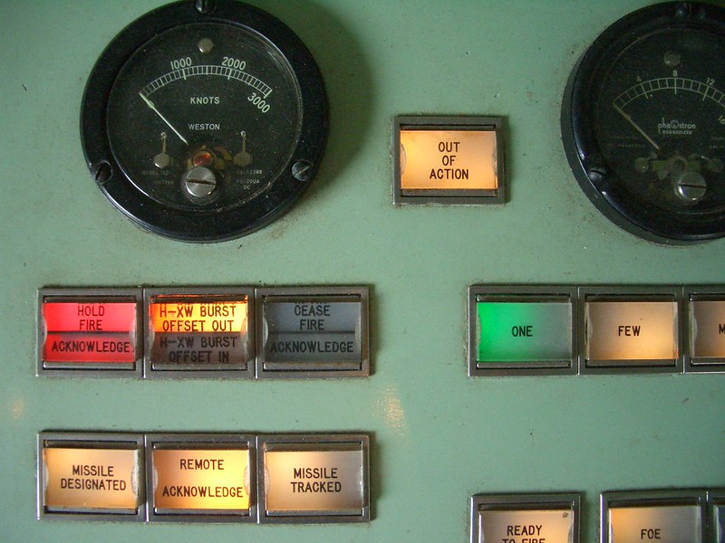
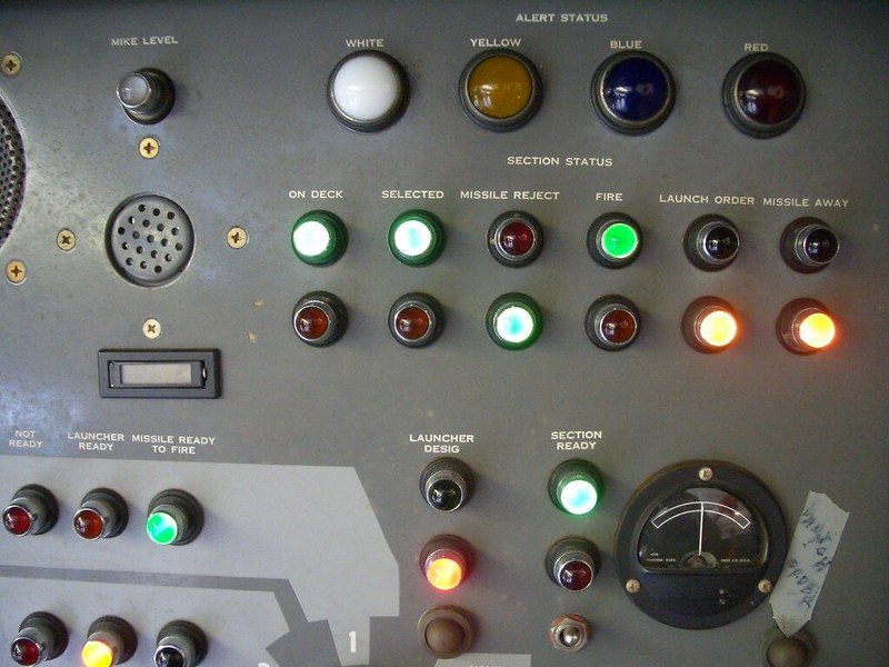
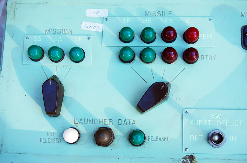
Over the past couple of years I’ve been thinking a lot about how computers see the world – through machine vision technologies and various data analysis systems – and how this shapes our lives.

Facial recognition technologies used by police are found to falsely identify and criminalise people (cases of mistaken identity are as high as 93% and in another study were 81%). CV-sorting and hiring algorithms are given the power to select and choose job candidates (Amazon’s tool became biased against female candidates, and HireVue’s claimed to make predictions based on the candidate’s tone of voice and facial movements. But my favourite example is one that decided the ideal candidate would be called Jared and would play Lacrosse…)

There are algorithms that will automatically move you further down a medical waiting list, those that decide whether you have access to housing or a loan, and countless more examples.

The decisions that computers make are hugely consequential; they can’t be assumed to be accurate or infallible.

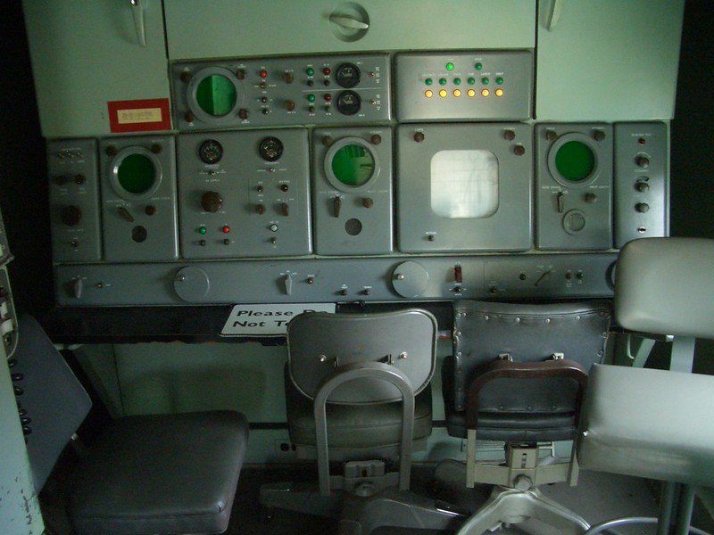
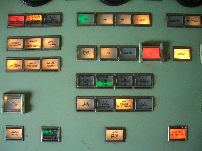
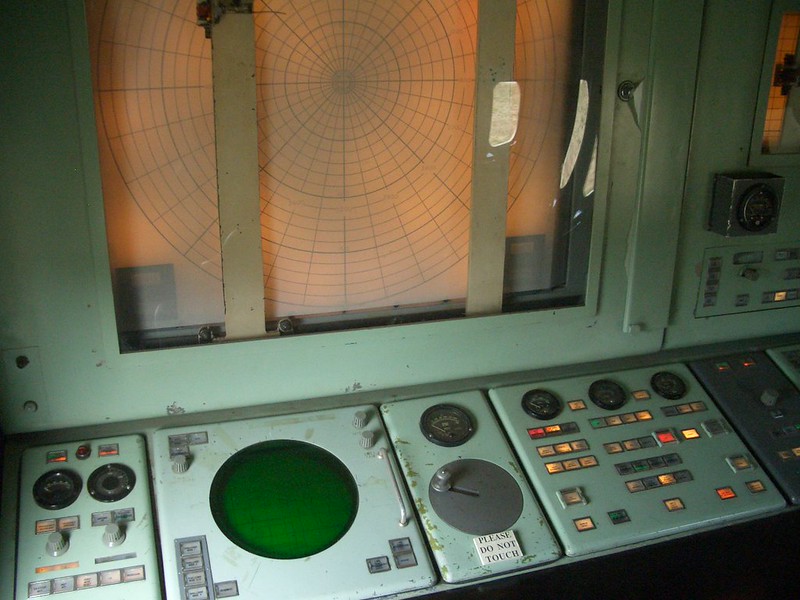
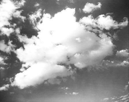
That’s why I was fascinated when I came across the 1983 story of Stanislav Petrov and how his questioning of what the computer claimed to see averted a nuclear missile strike capable of killing 50% of the US population. In this case, it was sunspots reflecting off high-altitude clouds that looked to the computer like an incoming missile attack. The system reported a high confidence reading that this was a definite attack, with no uncertainty.

The sun and clouds at the Autumn equinox became an act of war, in the eyes of the machine.

[Image attribution: Bass Photo Co Collection, Indiana Historical Society]

View post >