

A series of images made by combining maps that show surveillance network Five Eyes locations in the UK and cloud optical thickness.
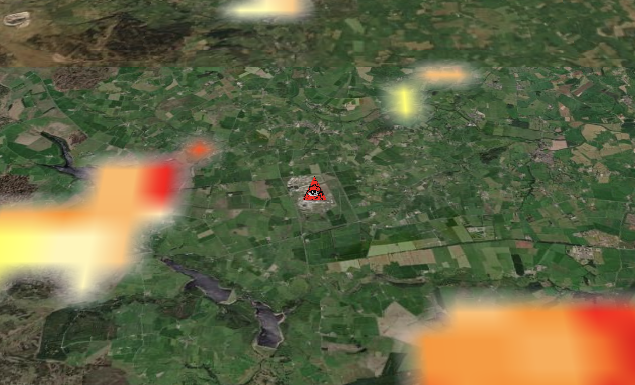
Yorkshire Dales ground station for satellites operated by the US National Reconnaissance Office, on behalf of the US National Security Agency 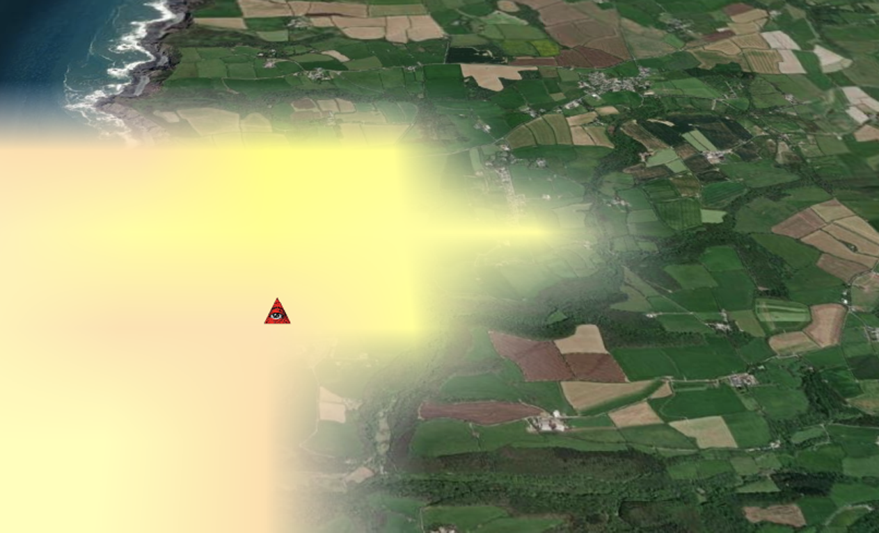
Flexbury, England, UK. GCHQ Composite Signals Organisation Station Morwenstow, a satellite ground station located on the north Cornwall coast and operated by GCHQ on the site of the former World War II airfield, RAF Cleave. 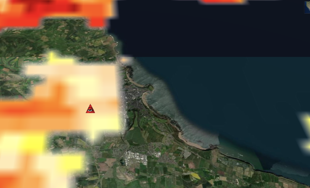
GCHQ Scarborough’s satellite ground station on Irton Moor. 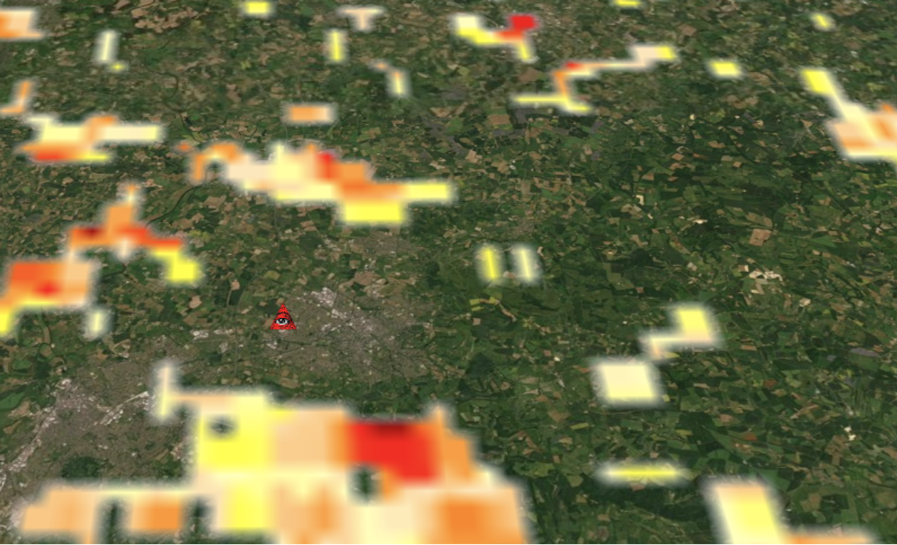
GCHQ’s “The Doughnut” in the suburbs of Cheltenham. 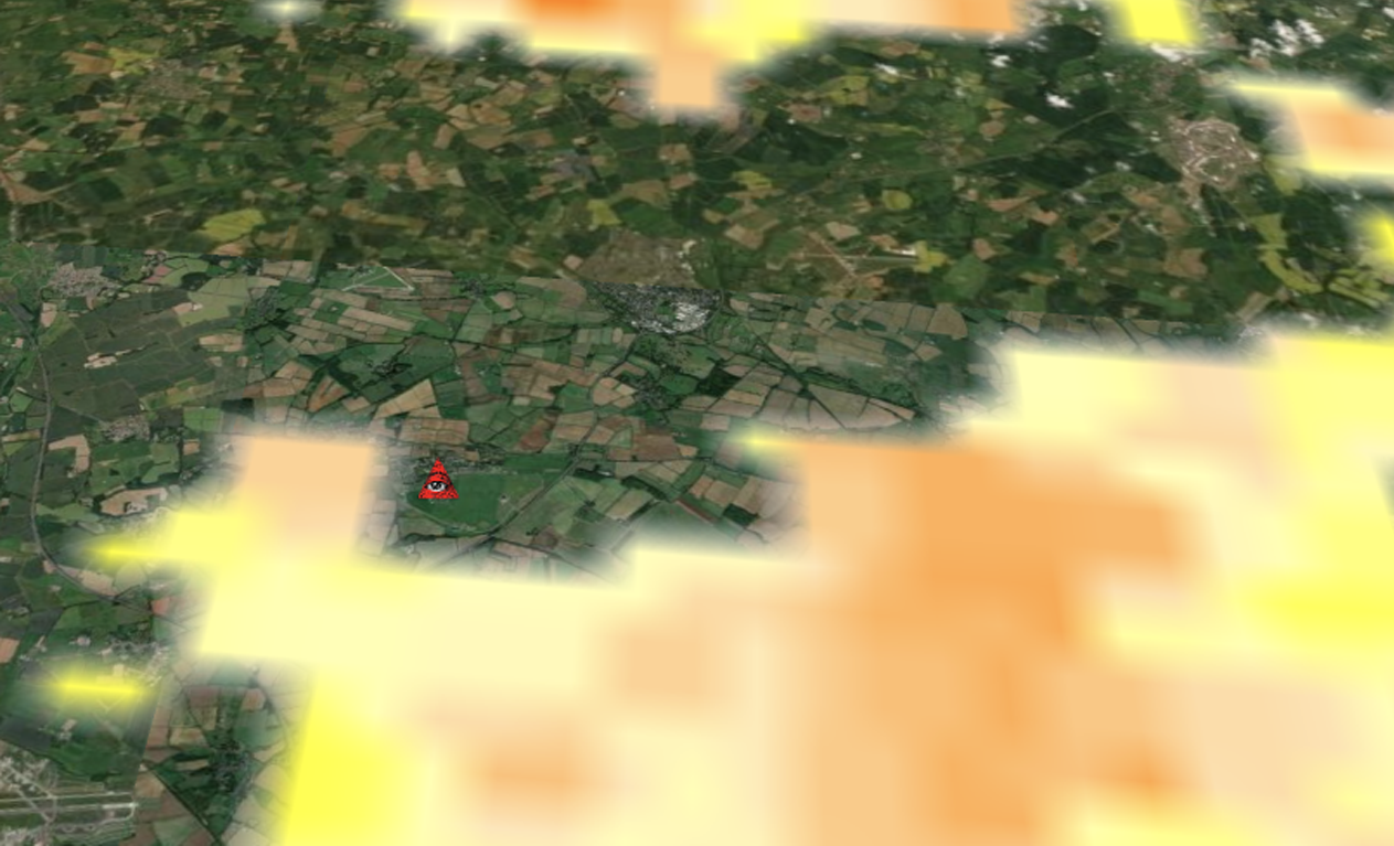
Royal Air Force Croughton is a United States Air Force communications station in Northamptonshire, England. The station operates one of Europe’s largest military switchboards and processes approximately a third of all U.S. military communications in Europe. 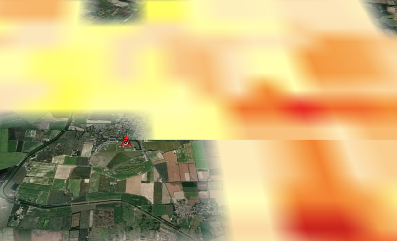
RAF Feltwell, Norfolk, is administered by Detachment 4 of the 18th Intelligence Squadron, a space control intelligence organization of the United States Air Force, located at Wright-Patterson AFB, Ohio.
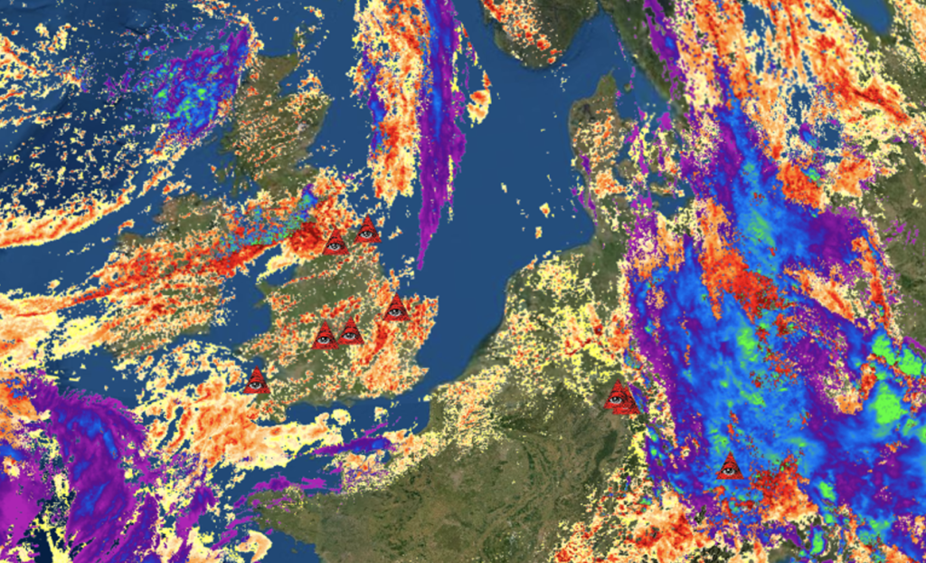
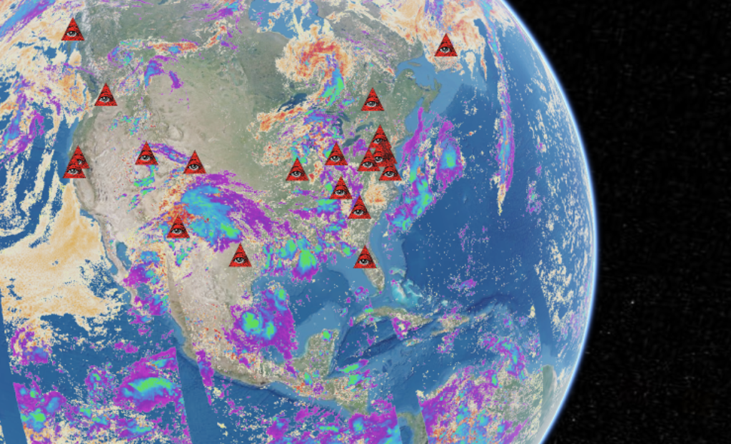
The icon of the red triangle with the eye within it was the default setting in the tool I used to create these images. Note: to change in future.